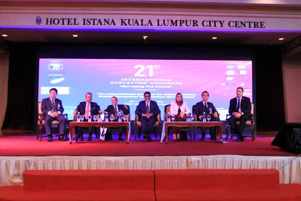
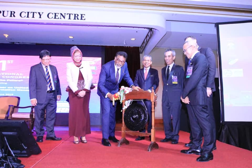
Water, Land and Natural Resources Minister YB Dr Xavier Jayakumar today officiated the International Seminar on United Nations Global Geospatial Information Management, held in conjunction with the 21st International Surveyors' Congress (ISC).
YB Dr. Xavier, in acknowledging the importance of geospatial in nation-building, saw that geospatial information is a significant contributor to better policy formulation and responses to address various challenges.
“It provides the means to integrate a wide variety of government services that contribute to social wellbeing, economic growth and environmental sustainability", YB Dr. Xavier added.
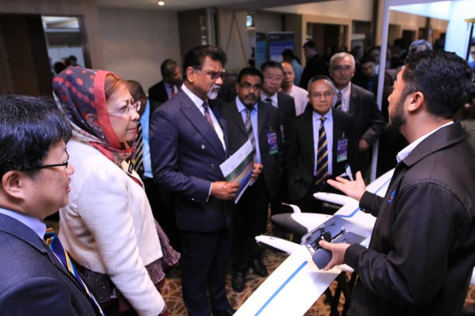
The event attracted around 500 surveyors, together with 33 expert representatives from 26 countries and 11 experts from United Nations.
Jabatan Ukur dan Pemetaan Malaysia - JUPEM
#geospatial
#SurveyingtheFuture